|
|
|
|
|
|
|
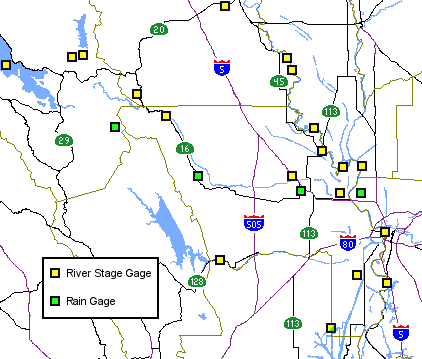
Click on gage using map or list below. A new window will open. | |
| North Fork Cache Creek Stages | ||
|
|
Clear Lake and Cache Creek Stages | |
|
Sacramento Int'l Airport (rain gage)
|
Yolo Bypass and Putah Creek Stages | |
|
|
||
CDEC Guidance Sacramento River
Cache Creek / Bypass
|
Other Links Lower Sacramento River - current Lower Sacramento River - 1 hr ago Lower Sacramento River - 2 hr ago
Oregon Climate Service - satellite page
|
|
Sacramento River
Cache Creek / Bypass
|
||
This is a support page to the Yolo County Office of Emergency Services web presence.
Click here to go to the main Yolo County website.
| |